
This article was originally featured on Aviation Pros.
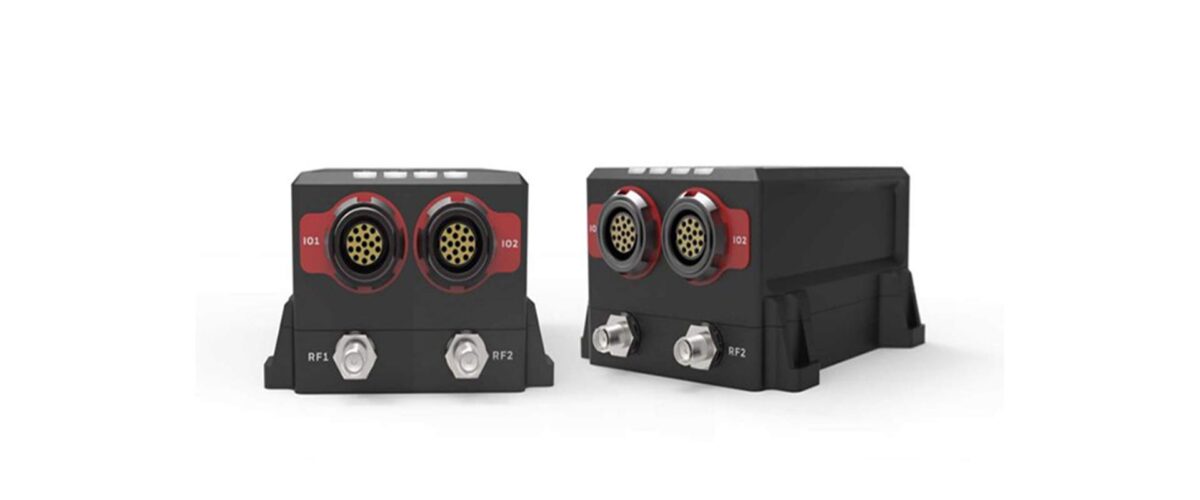
Honeywell’s new HGuide n380, an inertial navigation system that communicates position, orientation and velocity to objects such as an autonomous vehicle or unmanned aerial vehicle (UAV), even whilst navigation satellite signals are unavailable (due to line of sight obstruction).
Considerably smaller, lighter and lower-priced than other inertial navigation systems in the range, the HGuide n380 is built using Honeywell’s rigorous design standards to withstand harsh environments in the air, on land or at sea.
“The HGuide n380 is an incredibly small, light-weight, self-contained, all-attitude Inertial/GNSS Navigator designed for applications where robust, continuous position and attitude navigation data is required.”
“We recognized a need for a small, high-performance inertial navigation system in areas like 3D mapping, surveying and other applications where space is at a premium and performance cannot be compromised,”
said Chris Lund, offering management senior director, Navigation and Sensors, Honeywell Aerospace.
“We responded by developing the HGuide n380 inertial navigation system, which provides our customers with proven, cost effective inertial sensor technology, created for aerospace applications, but that can be integrated into almost any architecture.”
Honeywell is recognised as industry leaders in their field and have delivered more than 500,000 high-performance inertial sensors to serve as navigation aids on an extensive list of manned and unmanned vehicles, including many air and spacecraft in use today.
Read more here.